|
3056A Derring Hall (Mail Code 0420)
Department of Geosciences, Virginia Tech, Blacksburg, VA 24061
Anomalous mantle transition zone beneath the Yellowstone hotspot track
(Nature Geoscience, 2018)

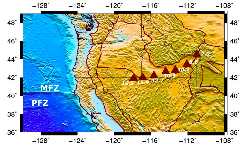
Figure 1: Location of the Yellowstone hotspot track. Triangles indicate general locations of the Yellowstone age-progressive volcanoes (age in millions of years), plotted on a topography map of the Western US.

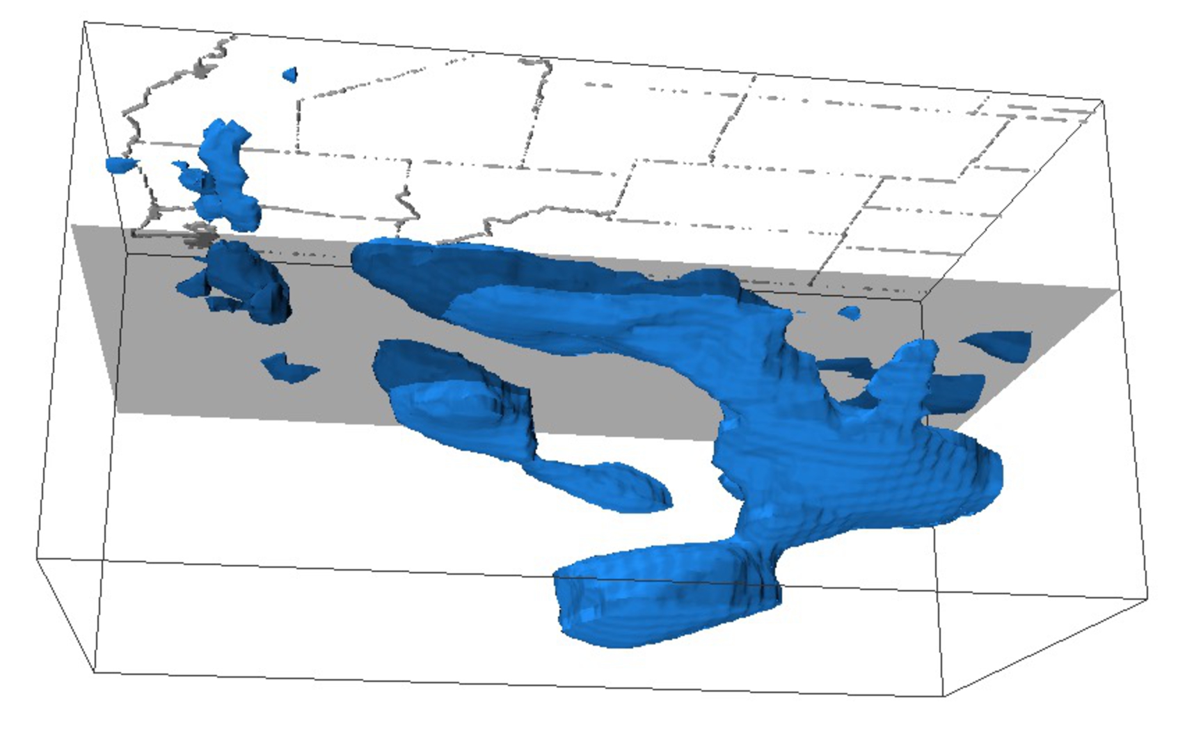
Figure 2: Side view of subducted oceanic Farallon plate (blue color) under the Western United States from surface down to 1600 km depth. This gigantic oceanic plate broke
into pieces and a section started tearing off and sinking down to the deep earth about 16 million years ago. This down-going section of oceanic slab replaced materials in the deep mantle, pushing hot deep mantle materials up to form the Yellowstone volcanoes.

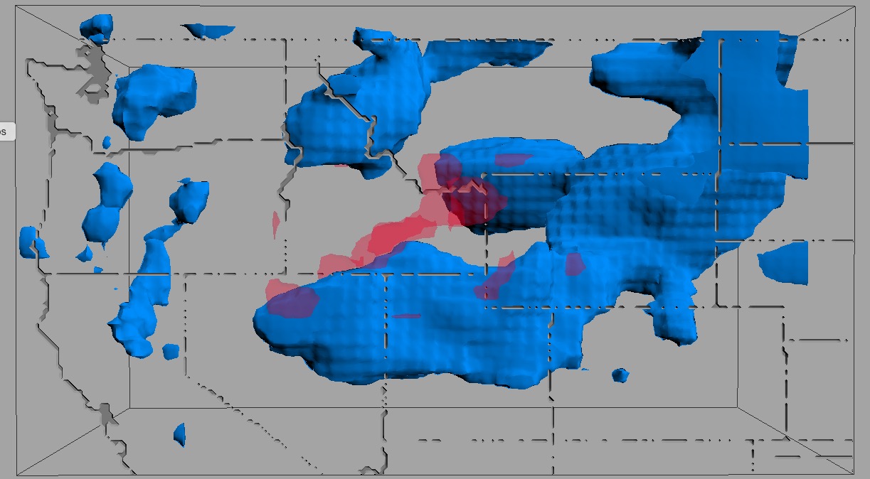
Figure 3: Bird-eye view of underground structure in the Western US. Blue: The subducted oceanic Farallon plate beneath the Western US. Red: anomalous rocks in the mantle (410-660 km depth) under the Yellowstone volcanoes.